Spatial Interpolation and Hotspot Analysis of Road Traffic Accidents in Jega, Nigeria Using Inverse Distance Weighting
DOI:
https://doi.org/10.70844/ijas.2026.3.53Keywords:
- Road traffic accidents,
- Spatial interpolation,
- Inverse distance weighting,
- Hotspot analysis,
- GIS,
- Nigeria
Abstract
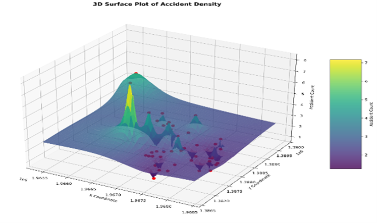
Road traffic accidents pose a growing public safety challenge in rapidly urbanizing regions of Nigeria, where infrastructure development and traffic management often lag behind increasing vehicle use. This study investigates the spatial distribution and hotspot patterns of road traffic accidents in Jega Local Government Area, Kebbi State, Nigeria, using Inverse Distance Weighting (IDW) spatial interpolation. Georeferenced accident count data were analyzed through descriptive statistics, spatial visualization and interpolation on a 200 × 200 grid with an edge buffer to minimize boundary effects. Accident hotspots were delineated using an 80th percentile threshold of interpolated intensity values. The results reveal a strongly clustered spatial structure, characterized by pronounced inequality in accident occurrence, where a small number of locations account for a disproportionate share of recorded accidents. IDW surfaces, contour maps, three-dimensional visualizations and Google Earth-compatible outputs consistently identify high-risk zones around major junctions and traffic convergence areas. The findings
demonstrate that IDW provides a transparent, computationally efficient and operationally effective approach for accident hotspot identification in data-constrained urban settings. The study offers practical decision-support tools for targeted road safety interventions and contributes to evidence-based traffic management planning in developing urban environments.
Downloads
References
1. World Health Organization (2023) Global status report on road safety 2023. World Health Organization
2. Lord D, Mannering F (2010) The statistical analysis of crash-frequency data: A review and assessment of methodological alternatives. Transportation Research Part A: Policy and Practice 44(5): 291-305.
3. Anderson TK (2009) Kernel density estimation and K-means clustering to profile road accident hotspots. Accident Analysis & Prevention 41(3): 359-364.
4. Anselin L (1988) Spatial econometrics: Methods and models. Kluwer Academic.
5. Brunsdon C, Fotheringham AS, Charlton M (1996) Geographically weighted regression: A method for exploring spatial non-stationarity. Geographical Analysis 28(4): 281-298.
6. Fotheringham AS, Brunsdon C, Charlton M (2002) Geographically weighted regression: The analysis of spatially varying relationships. Wiley 86(2): 554-556.
7. Abubakar M, Umar M (2022) Spatial analysis on road traffic accidents in Kebbi State using Universal Kriging. Savanna Journal of Basic and Applied Sciences 4(1): 65-70.
8. Abubakar M, Salmanu A (2025) Mapping high-risk traffic zones in Jega, Nigeria: An integrated geospatial framework for road safety planning. Journal of Basics and Applied Sciences Research 3(6): 252-261.
9. Li J, Heap AD (2014) Spatial interpolation methods applied in the environmental sciences: A review. Environmental Modelling & Software 53: 173-189.
10. Abubakar M, Salmanu A, Umar M, Usman AG (2025) Analyzing spatial heterogeneity in road traffic accidents using geographically weighted regression: A localized approach for targeted safety interventions. International Journal of Applied Science and Mathematics 11(9): 126-138.
11. Goovaerts P (1997) Geostatistics for natural resources evaluation. Oxford University Press.
12. Hengl T, Heuvelink GBM, Stein A (2004) Geostatistical mapping of spatial variation in soil properties using regression-kriging. Geoderma 120: 75-93.
13. Odeh IOA, McBratney AB, Chittleborough DJ (1995) Further results on prediction of soil properties from terrain attributes: Heterotopic cokriging and regression-kriging. Geoderma 67(3–4): 215-226.